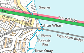
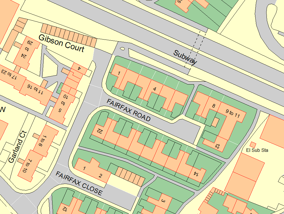
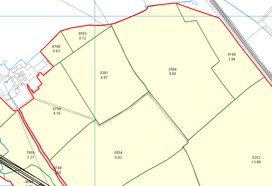
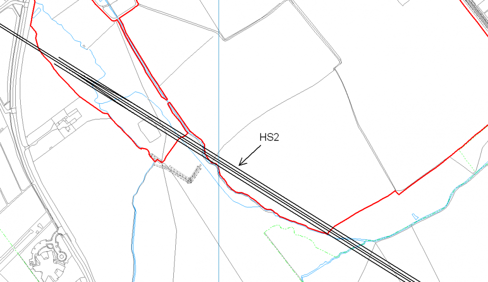
We supply a complete range of Tree Management software and survey equipment designed primarily for the arboriculturalist, contractor or land manager seeking to meet Duty of Care responsibilities. Our hand-held, GPS-based equipment enables fast and efficient tree survey data capture both for general surveys and to meet the latest BS5837 or equivalent requirements.
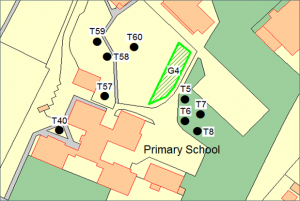
Huge productivity gains are achieved back in the office when the survey results can be plotted onto a map (using PT-Mapper Pro or PearGIS) and management reports produced within minutes (using TreeMinder). Effective training and excellent post-sales support mean you quickly achieve pay back on your investment.
Pear Technology provide a complete range of software and hardware to meet the needs of all arboricultural professionals – consultants, contractors, land owners and tree officers. Our simple to use software means that IT or CAD skills are not required. In addition, our modular approach lets you minimise costs by selecting only the features you need, ensuring you stay within your budget.
What we offer
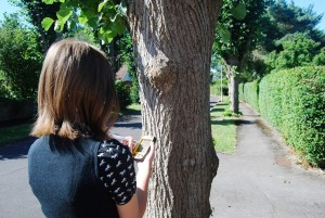
We supply data capture devices and software that are easy to use and help you get the job done quicker. Tree locations can be plotted manually or using GPS. The tree survey details are entered via a simple form, we use drop down menus or pick lists where appropriate, for example selecting species, as this makes data capture faster and more accurate. There are also comment boxes so you have flexibility to add your own notes.
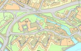
PT-Mapper Pro is a versatile map editing package which makes it an ideal tool for woodland and forestry management. The clipping tool makes it easy to divide up compartments and allow you to separately identify sub-compartments on the map. You can import and export Shape (SHP) files – This feature allows you to exchange boundary data with the Forestry Commission and other organisations.
Maps can be transferred to mobile devices for efficient onsite data capture.
MapLink enables you to link records to the map and colour code compartments according to values in your data.

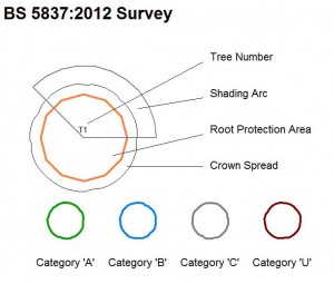
TreeMinder is a database that lets you record quickly and easily the results of general tree management surveys and arboricultural surveys that need to comply with BS 5837:2012. The program can work with handheld or tablet PC’s for mobile data capture and GPS plotting. It is straightforward to use and produces professional-looking reports for your clients, plus work plans and status against those plans.
What others are saying
“Pear Technology’s mapping system and services have become integral throughout our land agency and farm consultancy businesses.”
“I have used Pear’s software for 10 years. Their product is excellent and they also provide first-class support, ensuring that our mapping provides us with all the information we require to run our business.”
“Pear Technology provides a modern and streamlined digital mapping platform that has greatly enhanced the way we manage our rural estates.”
“We mostly use PT-Mapper Pro for asset mapping. I have not only found it easy to use but also very useful as the data is linked to each asset which obviously saves us time. I haven’t had any difficulties with the software but any technical issue I have had, I just call up and it gets sorted asap.”
“The Pear Technology system cost us about £2,000.00 in 2010, including training and the first year’s support. It’s difficult to quantify monetary savings but the system has enabled us to do our work in a faster, more professional and more responsive way. It’s difficult now to imagine not having such a system.”
“Stratton St. Margaret Parish Council is responsible for cemeteries, allotments, play areas, open spaces and assets such as dog bins, litter bins etc. Pear’s software has not only helped with the management of all this but is easy to use.”
“We have been using Pear Technology’s mapping and tree management software for over 3 years now. We are very pleased with the software that we use. Their customer support and service is second to none.”
“Needless to say, PT-Mapper Pro is a very user-friendly system to use. RPAs (including multi-stems) and crown spreads can be easily plotted; title boxes can be quickly added along with layers for ground protection, tree protection fencing or construction exclusion zones. Plans can then be printed or exported back to clients. All in all PT-Mapper Pro is a great product with sound back-up from the technical staff.”
“Pear Technology’s software has proven itself invaluable, I don’t know how I managed without it. It’s easy to use, speeds up data capture, has a diverse range of uses and improves overall efficiency. Pear Technology provide exceptional customer service and I have no hesitation in recommending them. One of the best companies I have ever worked with.”
“The software has become an integral part of our consultancy service and is a fantastic tool.”
“Using PT Mapper Pro has sped up the plotting process considerably, and it is now an invaluable tool for me. The time saved with plotting has more than covered the investment and I would be lost without it. It is a reliable piece of equipment for me, and helps to ensure that the plans in each report look as professional as the text and survey data.”
“Simmons and Sons have used Pear Technology for a number of years. The product for Rural Land agents  is in our experience the best on the market. The backup service and support Pear Tech has given is extremely helpful and thorough. I would recommend them.”
“We are part way through the mapping process as we have three cemeteries to contend with. The process is very straight forward and Pear have been extremely professional and helpful. Having all of the details of Poundbury Cemetery at my fingertips has well been worth the cost and effort involved and will prevent any mistakes being made in future.”
