Our Heritage
Back in 1995, mapping software was expensive and complicated. Made for tech companies, the only options around were for customers with big budgets and strong IT skills.
So, we made our own options.
Our mission was to create digital mapping software for people in less IT-focused industries, with smaller budgets. So, we became Licensed Partners with Ordnance Survey and we created software that gave smaller businesses the digital mapping services they needed to make their work easier and faster. Still to this day, our main focus is on ease of use, without sacrificing functionality. Exactly as our customers require.
What We Do
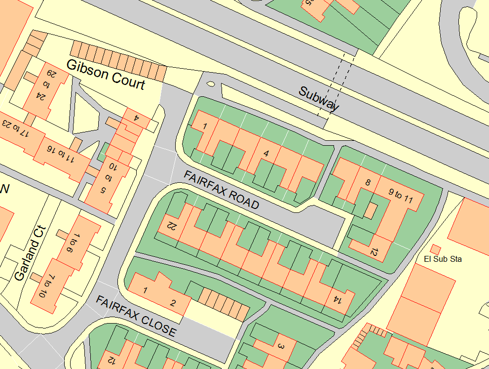
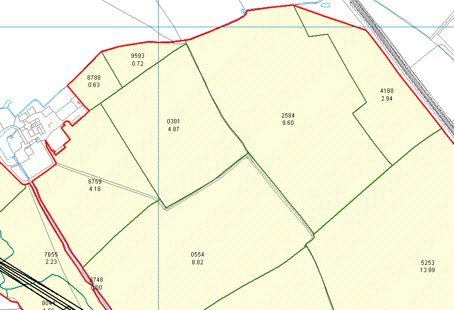
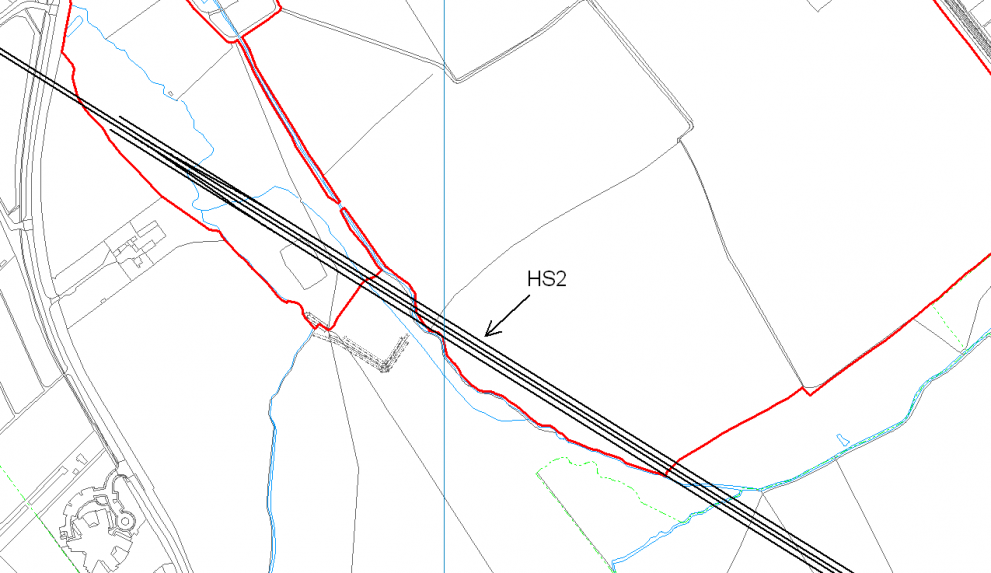
We specialise in providing a range of solutions, services and software that fit the digital mapping needs of niche markets. Our products simplify your geographical data, without limitations.
You don’t need to be tech savvy for our software, all you’ll need is basic computer skills, meaning our software can be used by just about everyone!
Our software brings all of your data into one place, making it faster and simpler to see. From there, you can easily visualise, navigate, edit, analyse and share with others.
Unlike other mapping services, we make ALL of our products “open”. This means that it’s easy for you to use the maps and data made in our programmes with other systems, creating ultimate functionality without limits.
Who We Help
We support such a wide range of markets, working with Land Agents, Farmers, Forestry Managers, Town Clerks, Arboriculturists and many other general businesses. Our products can be used by anyone with a need for accurate and easy-to-use mapping!
Our clients span across the globe, from the UK to Ireland, Europe, Australia and New Zealand. No person is too far!
Our Ethos
Great software is only part of the solution. We provide a personal touch.
We’re a small, friendly team based here in the UK, with a focus on building strong relationships with our clients, and listening to their needs. We enjoy taking the time to learn about our client’s business and markets and ensuring we are always available to provide advice and support.
We want our clients to get the most out of their investment in mapping, with accurate, comprehensive and, above all, useful information. You can often find us visiting our clients to provide in-person support (it’s just that much nicer to talk in person!), or bringing clients together to learn from one another and share best practice.
Who We Sponsor
Pear Technology have chosen to support Fund4Trees because of the great work they are doing to promote sustainable treescapes.
