Interactive Online Asset Maps

What are the benefits of having a web embedded map?

  • Know who owns what. Have a full comprehensive list of all of the items in your town which are owned by the Council.
  • Make this information publicly visible so that members of the public can see what is owned by the Council.
  • An online map makes grounds maintenance easier to manage, both from a tendering perspective, and for the grounds maintenance team to be clear about the location of work that is to be carried out.
  • The map can be accessed whilst out and about using a smartphone. The GPS function makes it very easy to identify and locate assets.
  • Public visibility makes identification and reporting of issues much more straight forward. If there are any issues with Council assets, the public can easily identify the asset and, if enabled, use the site’s share feature to feedback information to the Council.
  • Provide an enhanced service to the public by publishing additional features such as Public Rights of Way and cycle routes.
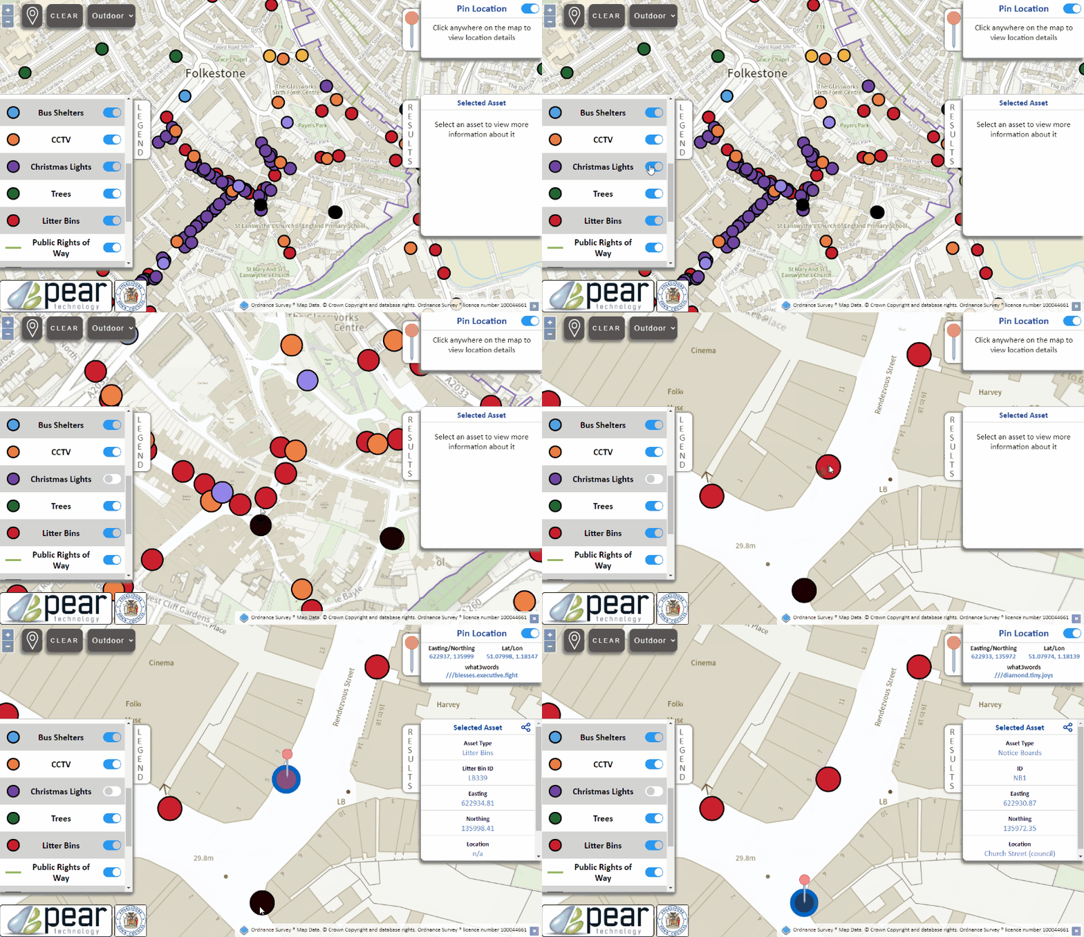
Moving image showing asset selection and asset information

The Asset Plotting Process

Do you already have an asset map and want to get more from it? Not sure where to start?

Learn how Pear can help you plot your Council’s assets and move your digital map online.

Find out how the process works in 3 easy steps or scroll to the bottom of this page to try out one of our maps!

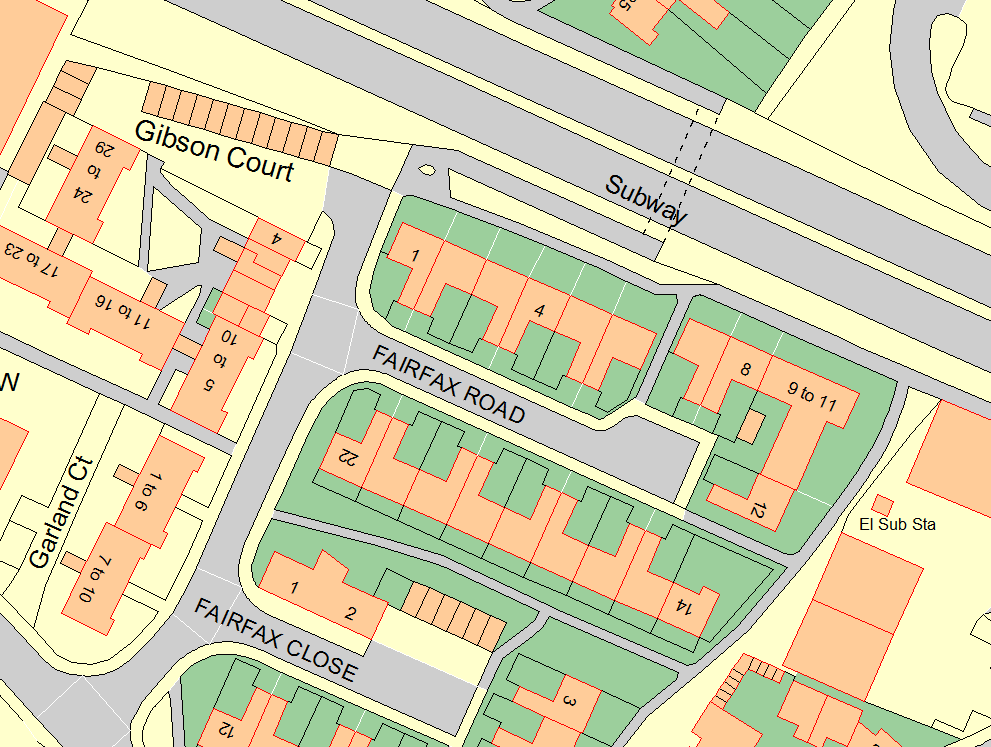
  • Step 1, Option 1

    Gathering the Data

    Pear create the map by bringing together various sources of information – just let us know what you would like included on your asset map!

    Provide us with whatever information you have – land title numbers, a list of locations/addresses of assets, or any current maps (paper, scans or digitally mapped) you have of your assets. If you have no maps we can provide a paper map of the parish you can mark up.

    We can also visit your location and gather the data for you using GPS devices (we also offer a GPS hire option enabling you to carry out the survey yourself).

    Once we’re all done, we will provide you with a digital version of the map to check.

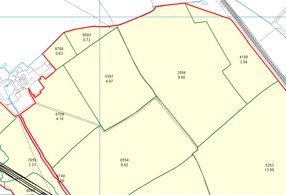
  • Step 2

    Adding the Asset Info

    Once the map is created the asset information can now be added. Let us know what information you want shared with the public, for example:-

    • Asset Name
    • Asset Type
    • Location Details
    • Condition
    • Comments
    • Area (our software can easily generate this)

    If the data was sourced from a GPS survey we can easily add photographs and information captured during the survey.

    Step 2

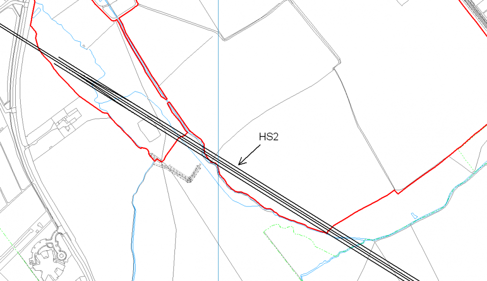
  • Step 3

    Publishing the Map

    Pear publish the asset map online and the council check for any final necessary amendments.

    We provide the council with all the information needed and a handy guide to enable the council website team to upload the map onto the council website so it can be shared with the public.

    Visitors to the council site can then use this link to view the land and assets that belong to the Council, and any further information about the assets e.g maintenance schedules, bin emptying rotas, etc.

Frequently Asked Questions

  • What assets can be mapped?

    Here are some examples of assets that your Council might wish to map.

    Routes and boundaries

    For example: Parish and ward boundaries can be mapped and we can generally easily source Public Rights of Way. Send us your cycle routes to map!

    Street furniture

    For example: Trees (TPOs), Grit bins, salt bins, dog-waste bins, litter bins, CCTV cameras, lamp posts, flower planters, hanging
    baskets, flower beds, benches, seats etc.

    Council Owned Land & Buildings 

    For example: parks, playgrounds, open spaces, woodlands, games pitches, beach huts, dinghy parks,

    town/village halls, office buildings, village greens etc.

  • How does it all work?

      1. We (or you) gather all the info about your land and assets.
      2. Pear then creates a digital map showing your land and assets.
      3. We create a web version of this map.
      4. Pear provides you with a link to your interactive online map (Web Embedded Digital Map) for you to place on your Council website.


    Pear hosts the website, taking responsibility for the maintenance, stability and backups of your maps (in other words, we’ll sort all the fiddly techy bits). 

  • Does the map need to be publicly accessible?

    If you are not ready to share your map with the public then you do not need to share the web address with them. The map can be accessed via the council and only published on the council website when ready.

    If the council does not want to publish the asset map online in the near future Pear can also provide the map via our PearGIS software so it can be hosted locally on the council machines.

  • What do I have to do?

    Gather any information about the assets you would like mapped so Pear know what you would like included on the map! We can do all the mapping work for you. Once the map is finished all you’ll need to do is place a link on your Council / Parish website which takes users to the Pear webpage hosting your map.

  • What are the costs?

    Our quote is made up of these elements:-

    • The time taken to map the assets. This will depend on how many assets there are and the original source of information. For example, if you already have a digital map of your assets in our mapping software we can convert this, or if we can source the information from the land registry, this is likely to be a lower cost than for any areas we need to manually plot. We can break the quote down so you can prioritise the information you would like included.
    • The time taken to add the asset information (optional). This will provide on the quality of the information provided. Pear will provide a spreadsheet for the council to populate with any information you would like added to the assets (i.e site name, condition, colour etc) which we add to the relevant asset on the map.
    • Website set up (one-off). This covers time taken to set up the webpage.
    • Hosting (annual).

    Please do get in touch if you would like a quote for an online asset map.

Try Out Lichfield City Council’s Web Embedded Asset Map below