Free Rural Payment Agency maps for digital mapping
Please note this article was written in 2014. You can find the latest way to download your RPA field boundaries by clicking on our new post here.
See note above. Click here for latest info.
Having Rural Payment Agency maps in digital format has many benefits to the landowner. Here’s how to get hold of them.
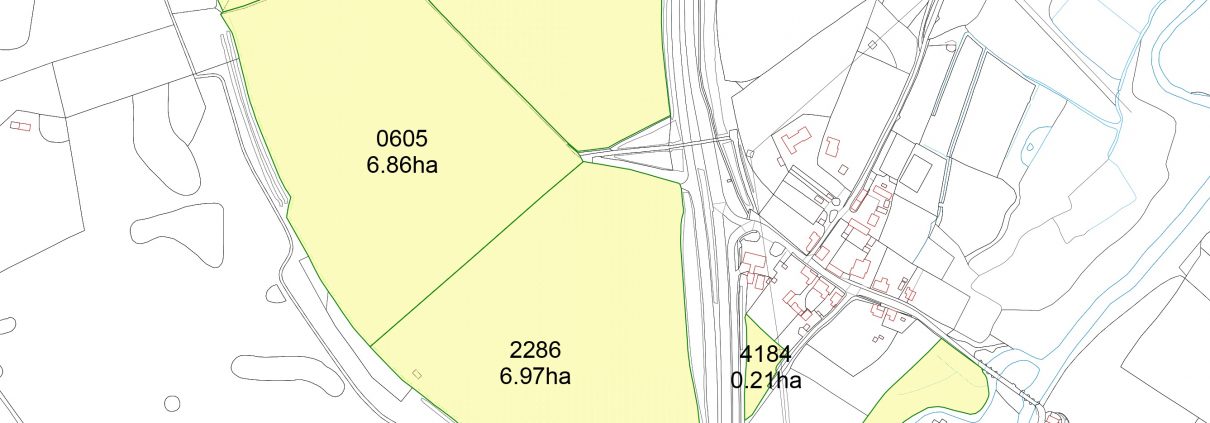
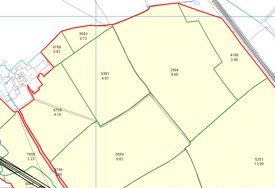
There are many advantages of having your RPA maps in digital map format within PT-Mapper compared to a simple PDF. In PT-Mapper you can select any map features to get measurements of area or length. It is also possible to make additional edits such as adding buffer strips, or splitting fields. By working with the data sourced from the RPA you can work with the certainty that you are operating with the approved data for your land. PT-Mapper will display the RPA field boundaries onto your existing maps with the field numbers and areas as specified by the RPA. You will then be able to treat them as you can anything else in PT-Mapper. Follow the steps outlined below to import them into the latest version of PT-Mapper.
How to obtain your maps
By Email
- Have ready your Business name and SBI number
- Email: csc@rpa.gsi.gov.uk and ask for the ‘shapefile’ of the RPA field boundaries for your Business name and SBI number. Request for the shapefile to be returned to your email address.
By Phone
- Have ready your SBI number & Business name to give to the operator
- Call: 03456 037777
- Choose the 5th option ‘Land and Mapping’
- Go through any security chekcs
- Asked to be emailed the ‘shapefiles’ RPA field boundaries, give the email address held on the RPA system for them to return the data to.
Importing the digital Map file into PTM
- Save the file returned from the RPA to an appropriate place on your computer, and ‘unzip’ the folder
- Within PT Mapper click – File> Import> Import RPA file
- Find the RPA file you have unzipped and click Open
- Your RPA Map should now be imported onto PT Mapper. If not, please contact us.


