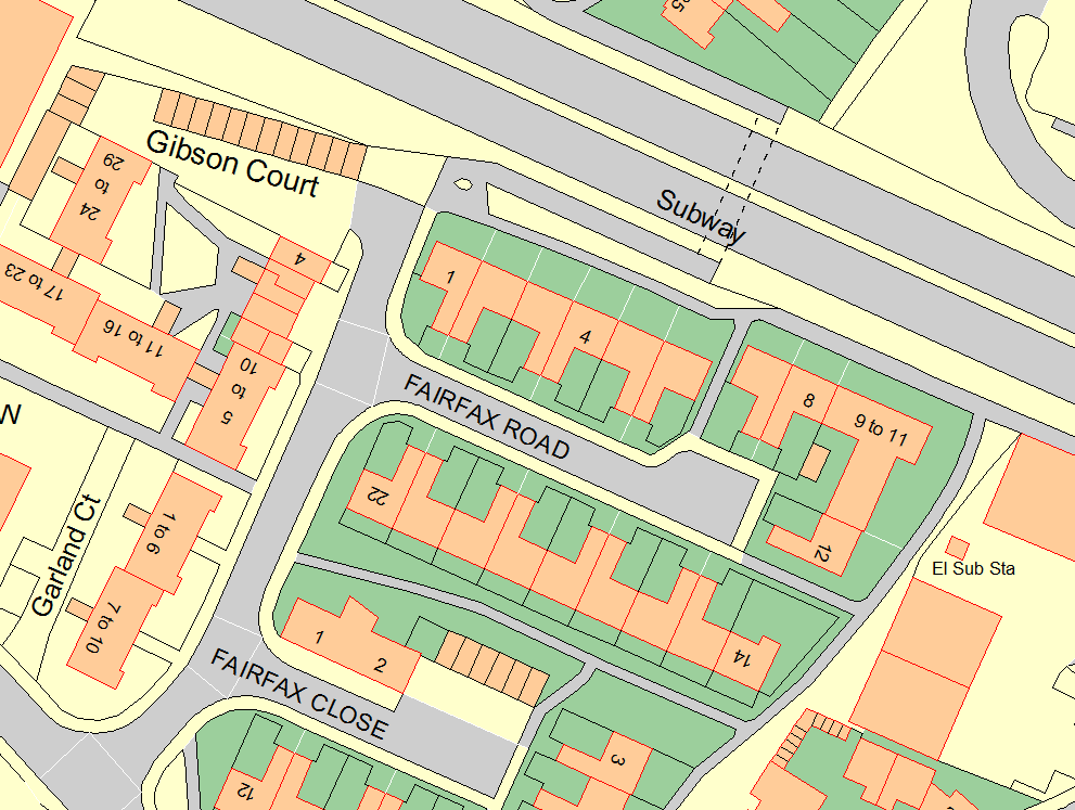
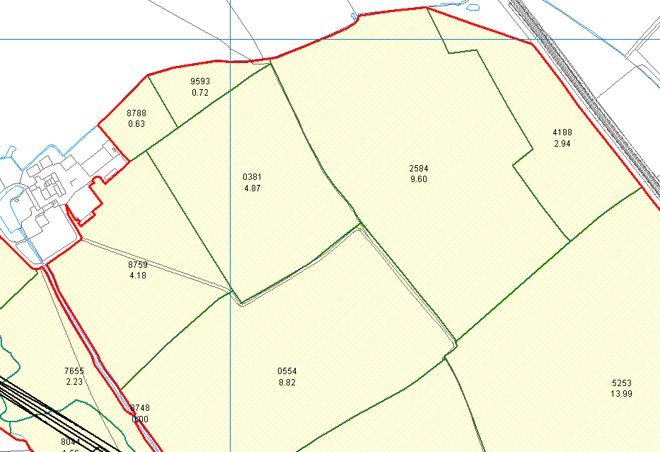
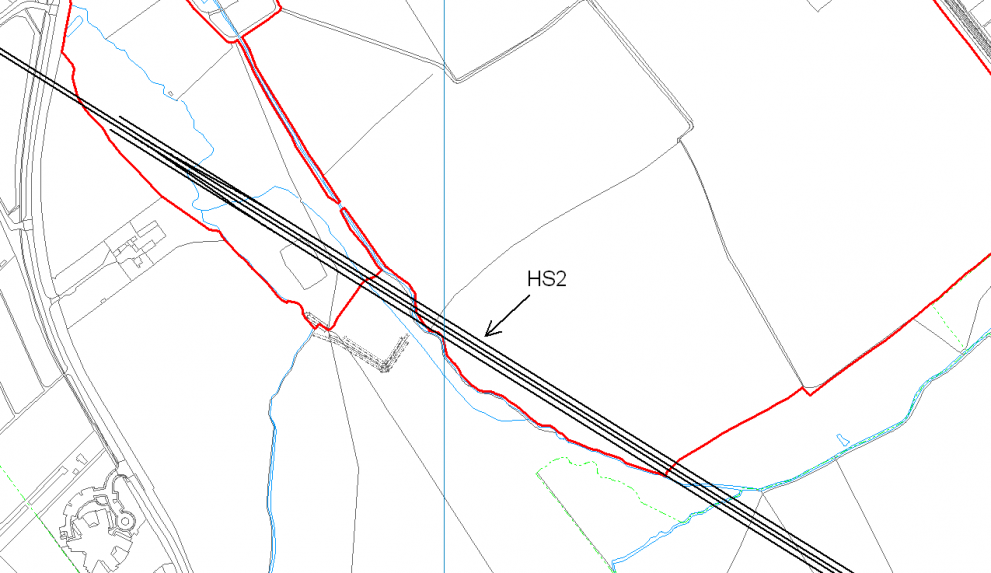
Rural, Land & Property Mapping
Since 1995 we've been the go-to choice for private landowners and managers all over Great Britain, transforming the way you view and manage your land
We provide geographic solutions for land, property and environmental management in the private sector.
Established 1995 and resellers of Ordnance Survey map data we can create bespoke one-off plans for your needs or deliver systems empowering you to create your own maps in-house and manage your assets over time. If no location information exists for your assets, then we also offer GNSS data capture options so that these can be surveyed.
Specialists in GIS, GNSS and digital mapping we are always very happy to advise on and provide the best solution for your needs; and to train and support you with that solution going forwards.
How it works
Quickly get underway with our two options: Bespoke or In-house. Many clients find a combination of both suits their needs best, so speak to us personally to find the best option for you.
What happens once we go ahead? You can count on us for ongoing training and support to ensure your digital maps are a success.
Reach out today to discuss your own requirements with us.
Bespoke
Ask our technical experts to create your bespoke maps for you. If you’re short on time, don’t have our software or the task is troublesome, we’ve got you covered.
- Make use of our specialised technical expertise and experience
- Get your map completed to a professional standard
- Save your time to work on other tasks
- Got a tight deadline? We'll turn it around fast
- No software or web mapping required
- Online hosting of your solution available
- Receive hardcopy plans, PDF files or images of the finished product
- Or, receive the content in a geographic digital format at the end (i.e. to use in PearGIS)
In-house
You’ll get access to software and training, giving you the freedom and flexibility to create your own maps in-house whenever you like.
- Receive initial training and/or refresher courses tailored for your solution from our technical experts
- Training can be delivered at your premises, at our offices, or remotely over the internet
- Check out our PearGIS support webpage for 'how to' FAQ
- Or check out our Rural Support webpage for guidance with our older in-house solutions
- Consultancy advice is also available on relevant enquiries
- Access our Technical Support service - Our experts on hand to help you solve any issues ASAP.

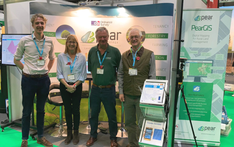
Our software
Discover the benefits of PearGIS and Map Shop Editor, your go-to tools for creating detailed digital maps for your land, property & estate management needs.
Don’t worry if you’re missing location info for your assets—we’ve got you covered with GNSS data capture options for precise surveys.
As your friendly experts in GIS, GNSS, and digital mapping, we’re dedicated to advising you on the best solutions for your individual requirements.
PearGIS
- Want to create your own geographic content In-house? PearGIS is our core mapping and GIS software solution.
- Create, edit & style your digital map content, however you want
- Log the information you want against your created content
- Link your features to your own data; documents, pictures, or webpages
- Use your information for ongoing management purposes
- Get the Landmark KEYPrime Property optional add-on linking module
- Stream in third-party geographic content, from various providers, as a WMS over the internet
- Import in or export out content in various formats
- Print hardcopy plans, PDF's or images (to or not to scale)
- Obtain OS vector products using our PT Map Shop 24/7 if you frequently work with different areas
GNSS Data Capture
- If no location information exists for your assets, then we also offer GNSS data capture options so that these can be surveyed.
- Solutions are available for purchase or rental
- Handheld, tablet, receiver and mobile options available depending on your needs
- Receive a recommendation based on our testing of current market devices
- Tailor your survey to capture what data you want; not just assets' geographic locations
- Upload geographic content onto a device to locate it in the real world or to update its data
- Solutions provided are already set up and configured, ready for your immediate use
Map Shop Editor
- Map Shop Editor is our online OS map editing solution
- View, create, edit & style your basic plan's content in your web browser
- Print and download your created plan as a PDF once done
- Access Ordnance Survey vector products without software on a pay as you go basis, 24/7
Support, Training & Consultancy
Receive initial training tailored for your solution or as a refresher.
Training can be delivered at your or our offices, or remotely over the internet.
Check out our PearGIS support webpage for ‘how to’ FAQ
Or check out our Rural Support webpage for guidance with our older in-house solutions.
Consultancy advice is also available on relevant enquiries.
Need support, training or advice? Our experts will always be on hand to help you.
Give us a call or drop us an email with your query.

Client Testimonials


