Posts

RPA – Basic Payments Scheme Deadline

2016 Update: Please note RPA boundaries in a shapefile format are no longer available. 


The Current Situation

With the announcement of the Basic Payment Scheme’s (BPS) withdrawal of their online mapping system, farmers are having to resort back to paper maps. Claim submission deadlines have been extended to the 15th June, 2015. However, the RPA have advised farmers to get their claims in as soon as possible  to make sure guidance can be given where needed.

The RPA have been issuing more details on how farmers can claim for the BPS 2015 and have been distributing pre-populated BP5 claim forms to all registered cutomers of the Rural Payments online system.


How Pear Can helpLaundry Cottage RPA
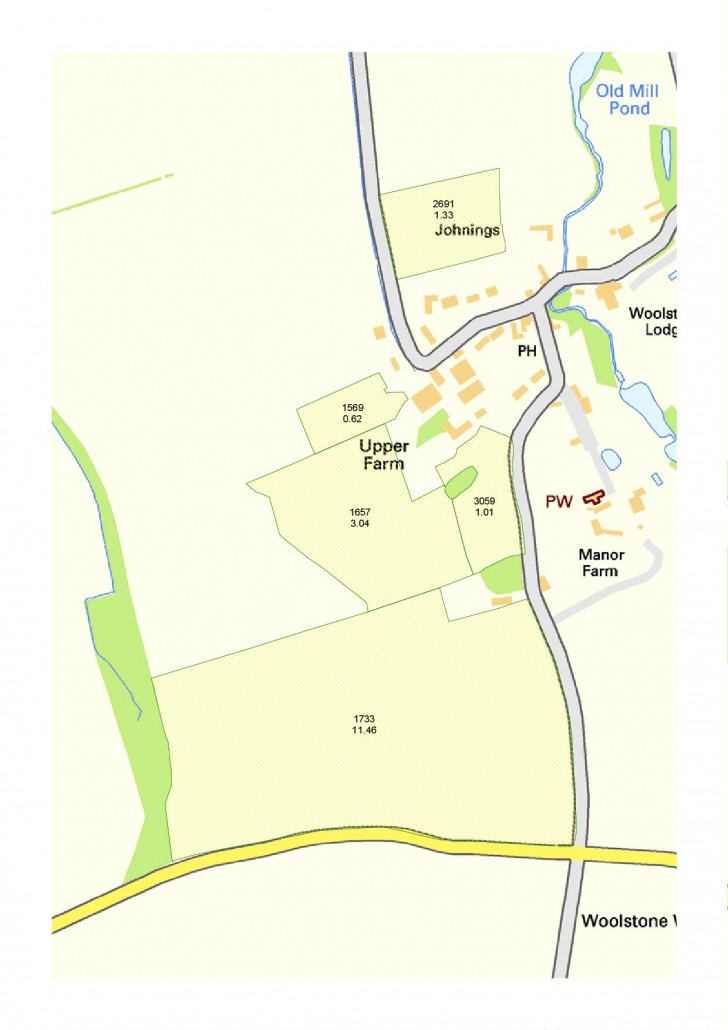
Paper maps are fine and a lot of farmers will resort back to this traditional method but it is far too easy to create inaccuracies when using a felt tip on a paper map. PT-Mapper in comparison allows you to accurately update your farm to the nearest cm if needs be giving you realistic and reliable readings for your claims.

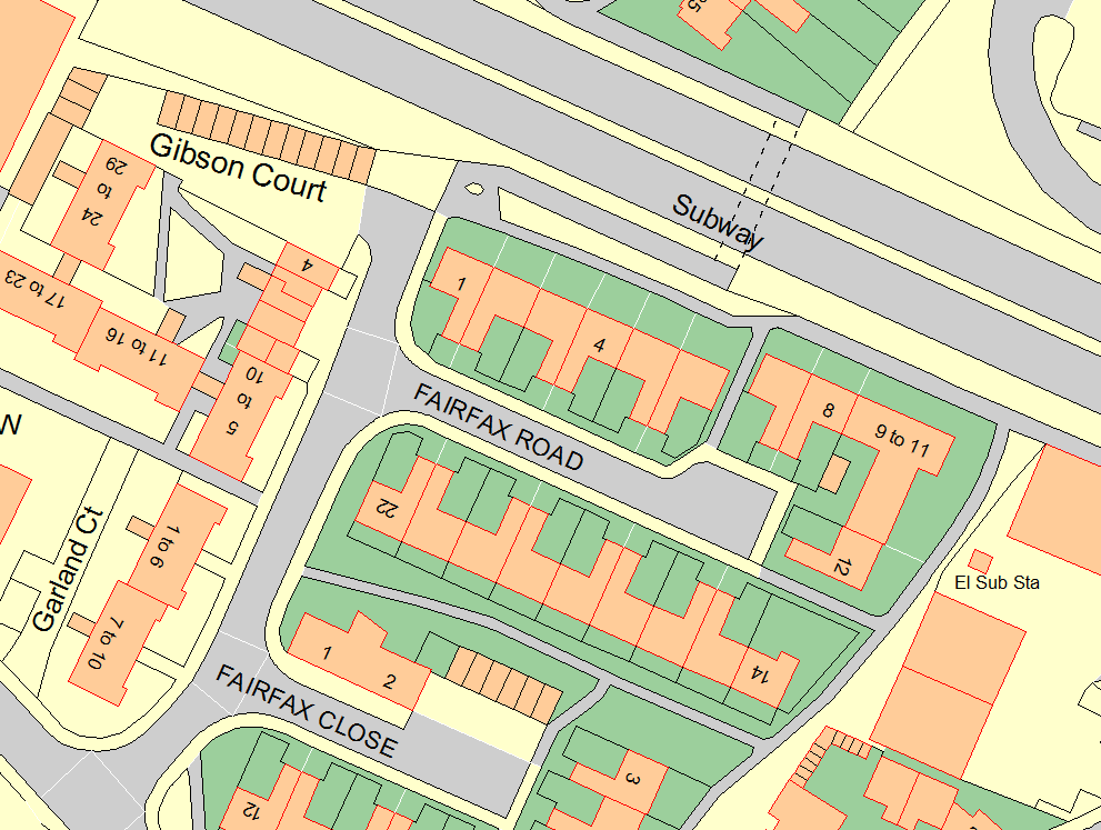
The RPA analyse Ordnance Survey MasterMap data, the most up to date and detailed data avaialble from the OS,  to identify boundary amendments. The great benefit of our software is you can purchase the very same MasterMap data to check, identify and adjust your field boundaries to the appropriate position.

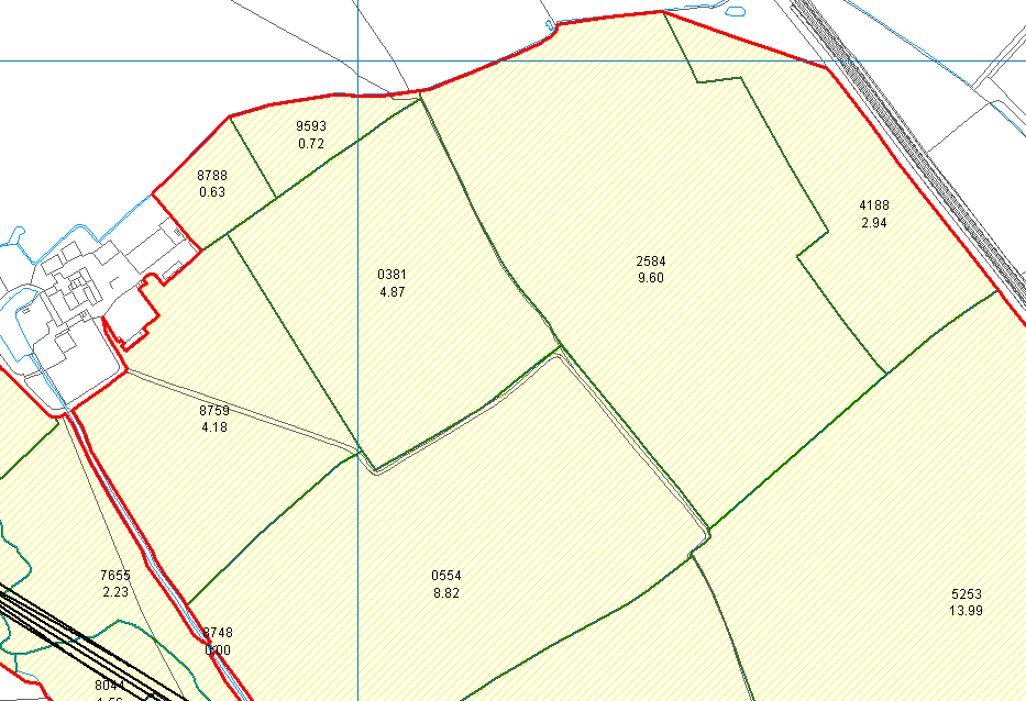
In addition to this, you can request your RPA field boundaries directly from the RPA in a ‘shapefile format’, for free.  These files can then be easily imported straight into PT-Mapper showing you your field boundaries as well as any permanent ineligible features (PIF’s). From here you can edit the boundaries to follow the MasterMap data, measure distances yourself for the boundary to follow, use a handheld GPS device to plot points to map to, or link your fields to Google Earth and follow the aerial imagery.

To go one step further you can use our easy-to-use editing tools to create accurate buffer strips around your fields to calculate the exact area being farmed as well as Game Cover and grass margins.

It is time to get your field boundaries up to date and PT-Mapper is the perfect, simple and intuitive replacement to the BPS’ withdrawn system.


How to get started

  1. Download a trial of PT-Mapper to see how you like the system. Once you are happy, get in contact with us to purchase a full licence.
  2. Request your RPA shapefiles from the RPA
  3. Send us a plan of your farm so we can provide you with a quote for the Ordnance Survey MasterMap data required.
  4. Use our software to edit your field boundaries and gain precise hectarage for your farm
  5. Print the updated maps and fill in your BP5 form with your accurate, up to date figures and make your claim

 

Related Products

PT Mapper

PT-Mapper is the core application to help manage land and assets through the power of maps. It provides much more than free online mapping services as well as all the key functions of more expensive geographic information systems. PT-Mapper brings together your own data with that of other agencies to allow for more effective and efficient decision making.

The introduction of the Basic Payment Scheme (BPS)

The new CAP Reform for farmers will be replacing the Single Payment Scheme in 2015 with the introduction of the Basic Payment Scheme.  Get prepared by organising your maps quickly and easily with Pear Technology.

Pear’s rural land management mapping software, PT-Mapper, allows you to cover all the forthcoming requirements, including:

Greening

As a farmer, you will need to comply with three “greening measures”. These three measures will affect up to 30% of the BPS payment, so it is important to ensure you are compliant with the requirements. Additional EFA options may be added in time, but initially the three areas are:

Ecological Focus Areas

Buffer strips and hedges count as high importance EFAs and are weighted highly. However, farmers deciding to use hedgerows as part of their EFA could face a significant delay to their payment because of the mapping requirements. It is therefore important to submit suitably mapped claims as soon as possible.

Crop diversification

Environmentally beneficial crops, such as nitrogen fixing, catch crops and cover crops are included. There will be no restrictions on inputs (pesticides and fertilisers).  The list of crops counting towards this requirement is to be published shortly.

Maintenance of permanent grassland

This relates to land lying fallow where you have sown with environmental seed mixes such as wild bird seed mix and pollen and nectar mixes.

Weightings and coefficients

These weightings will affect how much each option will count for on the ground:

 Features Conversion factor Weighting factor Ecological focus area
Buffer strips 6 1.5 9m²
Hedges 5 2 10m²
Catch crops/green cover n.a 0.3 0.3m²
Nitrogen fixing crops n.a 0.7 0.7m²
Land lying fallow n.a 1 1m²

For example hedgerows 100m will be multiplied by a conversion factor of 5, and the weighting factor of 2 Result= 100 x 5 x 2= 1000m2   Please see additional documentation on information relating to double funding and decisions regarding GAEC standards.

*Document referenced from the CLA documentation

For more information, please visit:

Gov.uk- Countryside gets set to claim £15billion under CAP reform
NFU- Basic Payment Scheme – BPS
CLA- BASIC PAYMENT SCHEME
Robinson and Hall- CAP Reform 2015 – The New Basic Payment Scheme


DOWNLOAD NOW PT-Mapper

See the video on how to map your BPS options and calculate the Ecological Focus Areas here